Saturday, September 30, 2006

NYDC Push Trip

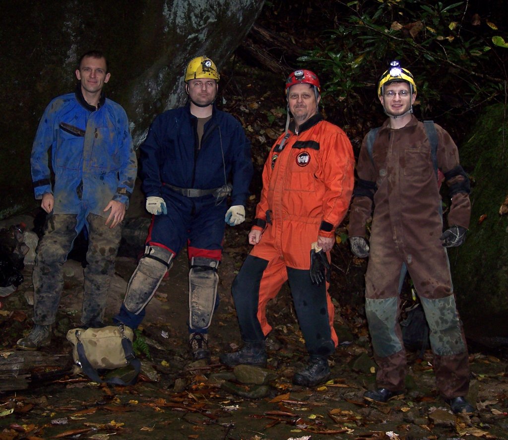
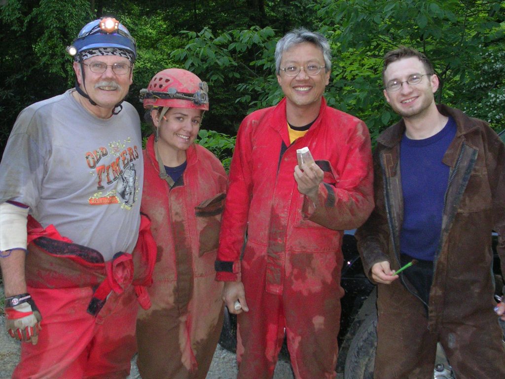
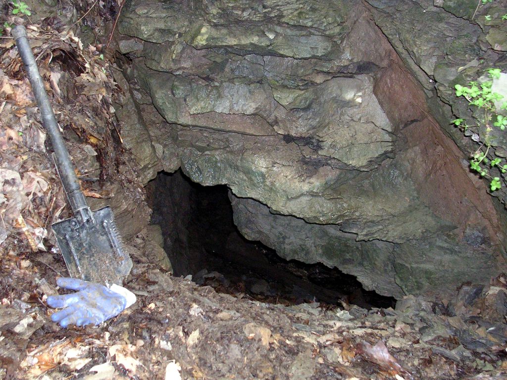
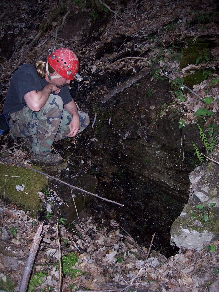
Greg Springer, Brian Masney, Bob Griffith, and myself trekked into New Years Day Cave today with the intent of making the elusive Druid Cave connection.


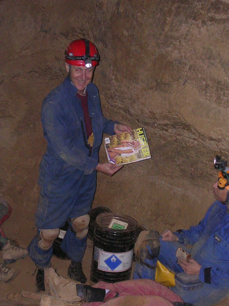
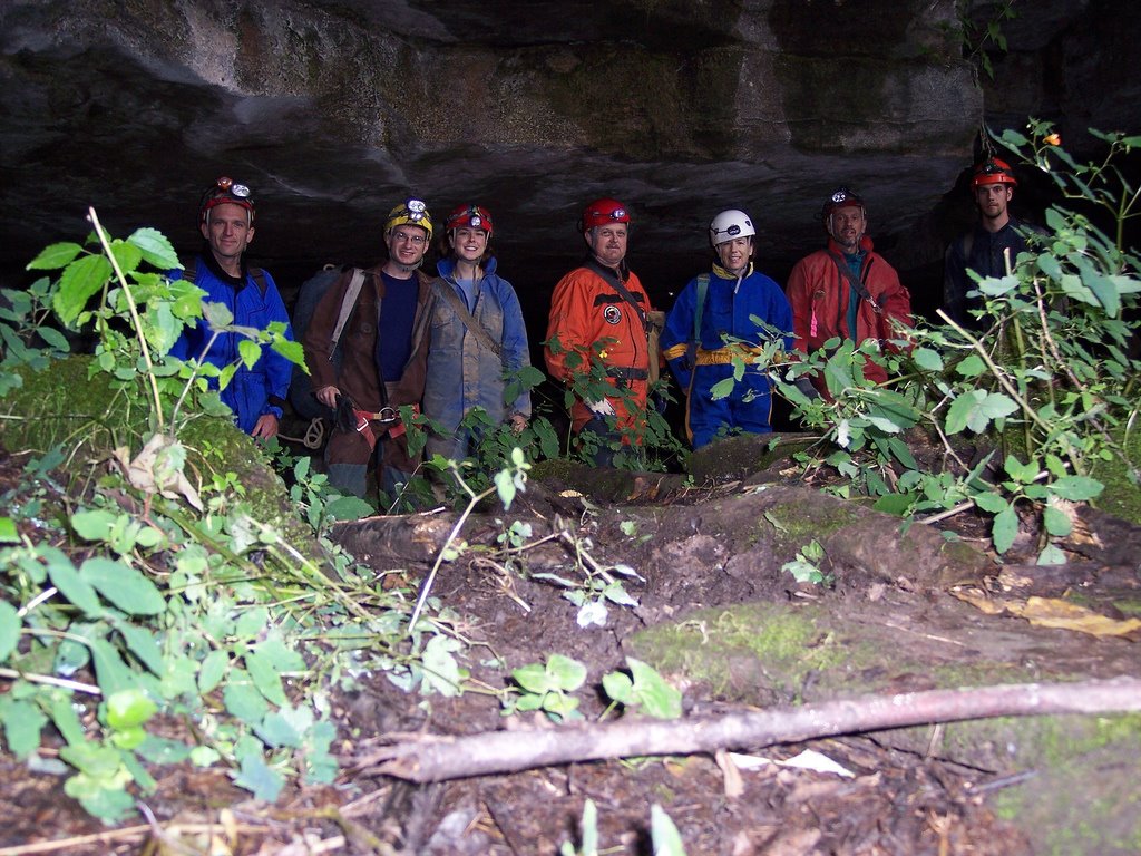
Before...

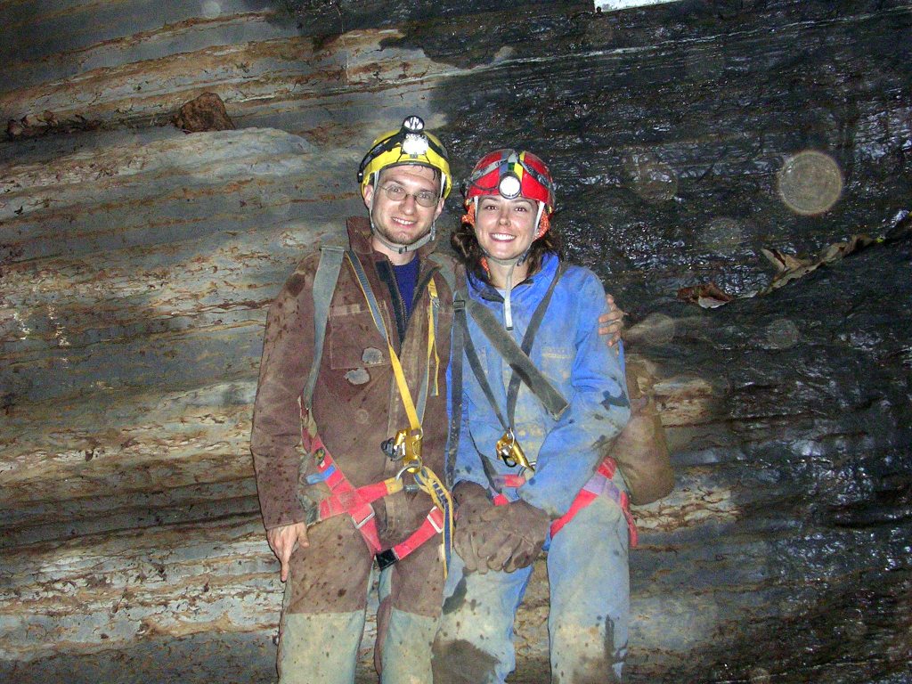
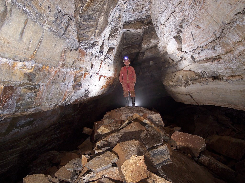
We met at 9am and headed to the parking area at the rim of the Cheat Canyon. We hiked down the hill in the rain, geared up, and were in cave at 11:20am. Despite the rain, the cave's water level was still fairly low; we mostly stayed dry except for the rain-soaking we received outside. The outside temperature was roughly the same as underground, so the Druid winds were non-existant. After the rock-on-rock crawl - a 15'-long crawl with both chest and back against solid bedrock, roughly the half-way point of the current cave length - the group decided that we weren't feeling up to the torturous journey the the back of the cave. Rather than push past our collective limits, we aborted the mission and headed back out. I noted at least six crayfish on the way out of the cave, including one "lobster" about 5" from tail to claws. We exited the cave at 3:30pm, four hours underground, cleaned our gear in Lick Run and hiked back up and out of the canyon by about 5pm.


After.

Brian swears that next time we'll make the connection... (sound familiar?)

Choice quote from Bob Griffith: "This cave sucks. It sucks in more ways than one would think one cave could suck. It's a veritable smorgasbord of suckiness... But I've gotta see the Whack-A-Mole™ passage."

All photos by Brian Masney

Thursday, September 28, 2006

[trip] Beaverhole Upper

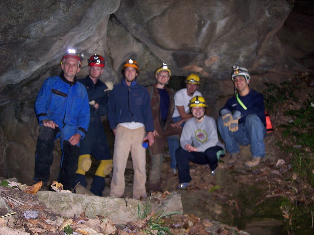
This Wednesday, the WVUSG took an evening trip into Beaverhole Upper Cave, located just over the Preston County line. Myself, Kyle McMillan, Brian Masney, and John Cunningham were there, along with three cavers new to the grotto, Rachael, Tom, and Aaron. We left the Rec Center at 6pm and headed down into the Cheat Canyon.


Brian, Kyle, Aaron, Dave, Tom, Rachael and John at the entrance to Beaverhole Upper.

The cave entrance was completely dry. I'd never noticed this before, but the cave stream actually sinks in the entrance room and resurges about 20' down the hill from the cave entrance; you can't tell that the water is being pirated at normal levels but we saw it sink right into the floor. We took the usual high route to the back of the cave, stopping to check out different nooks along the way. I poked around in some of the passage that usually moves water towards the back since it was so dry; we found a 4" crayfish stranded in a 6" puddle waiting for a good rain to wash him out.


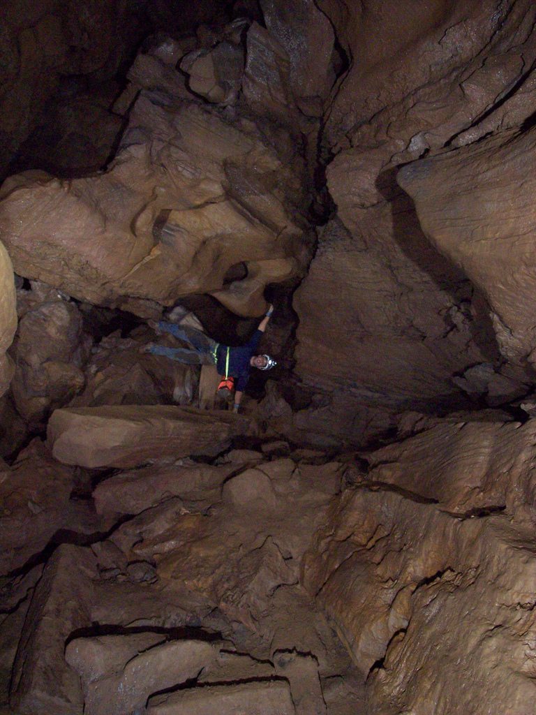
John Cunningham defies gravity.

On the way out, a few of us followed the stream passage the whole way, then everyone met back up again. As I was exiting the front passages, I looked down behind a large rock and saw Rich Finley lying there in street clothes, grinning and waiting to jump out at someone! He, Cara Doud and Dave Olsen had popped in the cave just to say 'hi'. We all headed out, changed clothes and got back to Morgantown at 10:50, only to find that the new IHOP closes at 11pm. Damn. We were in cave for 2.5 hours.

Photos by Brian Masney

Sunday, September 24, 2006

[trip] Clover Hollow at Fall VAR

This past weekend was the 2006 Fall VAR, hosted by the VPI Cave Club in Glen Lyn VA. Judi led a trip into Pig Hole on Friday, but I didn't arrive until late Friday night. We didn't actually go to VAR itself until Saturday evening, and it rained the entire time we were there.

On Saturday morning, we took a trip into Clover Hollow, one of the classic Virginia caves. Ray Sira and Judi Wasilewski led the trip; also along were Alice and Brian from VPI, Rich and Eric from the Front Royal Grotto, Josh from BATS, and Terry from Raleigh NC.

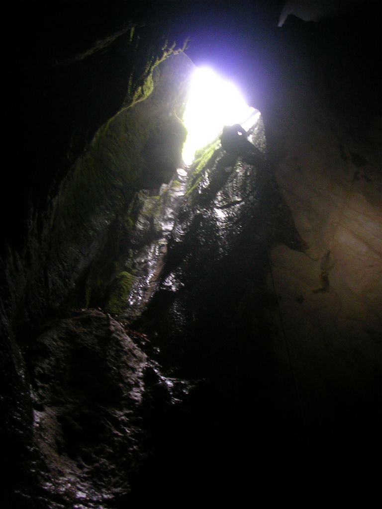
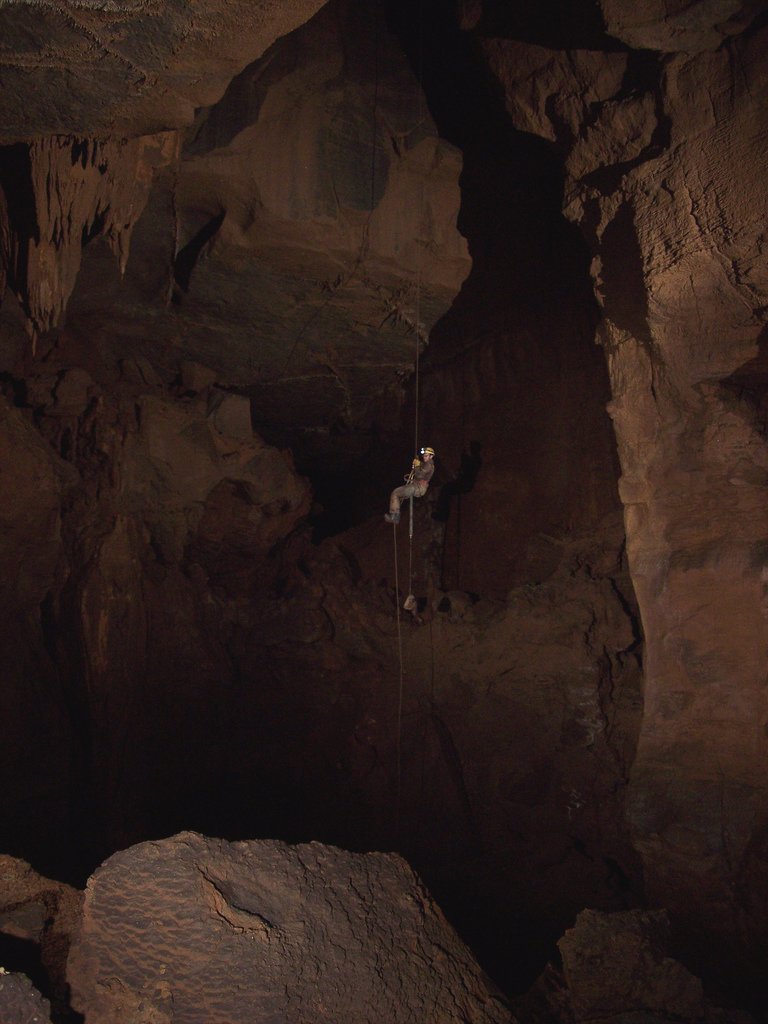
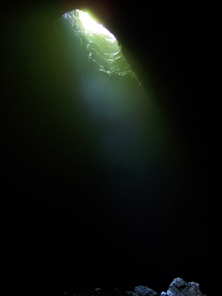
The cave entrance is an oblong-shaped pit about 60' deep, and at the end of a small blind stream bed. Even though it rained intermittently, the main entrance didn't take any water while we were there. After rigging to a large tree at the lip of the pit, we rappelled into the entrance room, then headed down a hallway shaped drain corridor.


The Clover Hollow entrance pit as seen from below.

We did a short crawl and then came to a 3' wide straddle pit with about 15' exposure at the far end. It took a bit of people shuffling, but everyone made it across fine. There's a nuisance hand climb, then a short 20' nuisance rappel followed by another short rappel. We finally came to a big drop - around 90' - into some big passage with an audible waterflow below. Except for the drainage at the entrance of the cave and the bit of water falling near this big rappel, the cave was completely dry. We ditched our vertical gear and headed through some mazey anastomotic passages and a few climbdowns.

We eventually made it back to a dead-end room in some steeply-dipping passage called the library. This is where VPI stores all their top-secret training documents. I believe it also doubles in function as a time capsule for future civilizations to discover.


"I swear, I only go caving for the articles!"

After grabbing some lunch, we headed back out - taking a different route back. This way led us through the "mud river", a bone-dry crawl which is only about 12 inches tall and seems about 100' long while you're traveling it. We took a small detour to check out a passage loaded with formations and an amazingly-tall rimstone dam. Everyone ascended back up the big pit, up the nuisance climbs, and headed back out. We were in cave for about 5 hours.


Judi and I pose in the entrance room.

See my Clover Hollow photos.

Via Ferrata

After the WVUSG's beginners weekend, we climbed the via ferrata at Nelson Rocks WV. I've never rock climbed before (but I've got plenty of rappelling experience), and I was able to do the course easily. The entire course is bolted with steel rungs and steel cable. You have two lanyards attached to your harness so that when clipping into the next piece of protection, you always have at least one lanyard attached. You get some serious exposure and the views from up on the rock cliffs are absolutely breathtaking. In my opinion, it is easily worth the $35 fee to do the via at least once. Sadly, there was a fatality there the weekend after our visit - I believe the first major accident there ever.


Rich and Dave ascend the first wall of the via ferrata. We are carrying rappelling gear that we never actually got to use. (Photo: Jason Thomas)

See also my via ferrata photos.

[trip] Tucker County Survey

Brian Masney, Mary Schmidt and I went into our current Tucker County cave this weekend (2006-09-16) with the original intention of resuming the survey from where we left off last time - about 2.5 - 3 hours back into the cave. We were in cave around 10:30am, and the water level was the lowest I have ever seen it in the cave (which is also what I said last time).

We made it to the end of the main survey in 3 hours, 45 minutes, including two side-excursions to push tributary leads. Frustrated with the time and effort required to get back here, we decided to abort the survey trip and push forward to either find better passage or another entrance. The upper, main passage continues forward for a ways, and goes from walking passage to stooping passage to crawling on breakdown flakes. It primarily zig-zags following regular joint sets. At some point we dropped down the the middle level, but were kept up off the stream level the entire time. Travel became slow and painful through the breakdown flakes. We passed several right-hand side passages, though none looked very promising. Airflow was very weak and we were not having fun.

We eventually came to another right-hand side lead, this one very curiously keyhole shaped, while the "main passage" continued as a nasty breakdown crawl. Both appeared to be virgin passage - we chose the keyhole. This passage went for 30' or so, then got wider and more rectangular with one or two small, meandering, phreatic tubes in its side. We found a window in the floor, for the first time in several hundred feet revealing water to us again. Excitedly, I rushed on to find a way down, scurried down a nice chute, and shouted back up "we've got cave!" This interesting passage has almost vertical walls, about 3' wide, and almost completely parallel, making it look like an aqueduct (at least, it would have had the cave not been so dry - it was more of a mudduct). The passage had faint airflow. Mary took the lead and scooped about 150' - 200' of walking passage which kept getting larger and eventually taking on a meandering shape. Deciding that we needed something to coax us back into this cave again, we turned around in nice walking passage. We had travelled at least 500 (unpleasant) feet from the current survey.

We were out of the cave at 7:45pm, stopped by Kevin's house to check in, and then had pizza at CJ's.

Wednesday, September 06, 2006

[trip] Simmons-Mingo at OTR

On Saturday of the 2006 OTR, Judi Wasilewski, Llew Williams, Brian Masney, Bob Griffith, Mary Davis, Garth Dixon, and myself (Dave Riggs) took a trip into the historic entrance of Simmons-Mingo Cave. Most of us had been to this entrance of the cave less than two months ago but had been stopped by a wet stream crawl. Our intention this time was to bypass the stream crawl by rappelling a ledge that bypasses it.

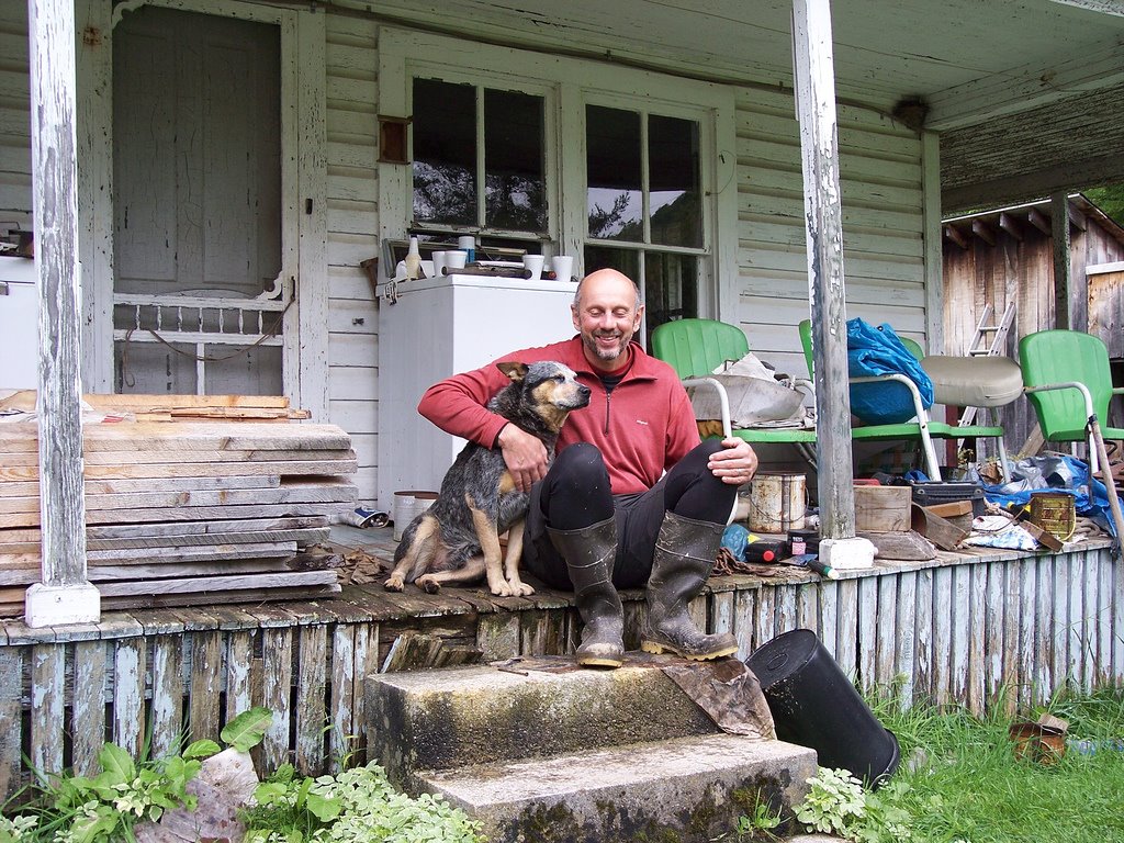
We met at 11am at the Monongahela Grotto's tent. We very carefully 4-wheeled out of the muddy OTR campsite and caravanned to Mingo Flats. Llew bribed the landowner's mean-looking dog with a granola bar, and he instantly became Llew's best friend. As we were almost completely geared-up, the Cleveland Grotto showed up behind us; they planned on taking a horizontal trip into the PSC passage. Even though there had been very significant rain the last several days, the stream at the parking area was low and sunk into its sediment bed, and the spring at the cave entrance was dry.
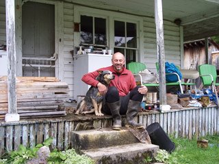
Llew and dog

The way to a mean dog's heart is apparently through his stomach. Llew with his new best friend.

Our team descended the entrance climb, aided by the existing handline. We headed down, down, down the mountains of breakdown, taking a quick detour to peer into a really deep pit on the right. Continuing down, down, down the breakdown, we spotted the Cleveland team on the breakdown mountain above us coming down like a line of christmas lights, which was a cool sight. They followed us to the start of the PSC passage, and Llew gave them directions from there. We eventually made it down to The Etrier room.

This is a 12' overhung ledge rigged with an old webbing etrier which leads down to a mid-level room. The mid-level room goes to a small, wet, stream crawl on the left, and a 30' ledge to a lower room on the right. We decided to rig a rope above the etrier, down the drop, around the corner, and down the ledge. This turned out to be a bad idea due to the large number of rub points involved. Next time, we'll either get wet in the stream crawl, or we'll rig the pit to the right just before the etrier drop (which looks like it connects to the later stream passage).

Anyway, everyone descended the two drops, ditched our vert gear, and headed down a passage towards the stream. It's here that Simmons-Mingo Cave really starts. The stream passage moves a lot of water and has carved a giant canyon passage. The floor is filled with potholes that make it look like swiss cheese. We climbed down into the canyon passage and headed upstream since it looked like we'd stay dryer than going downstream. Though the water didn't seem very high, we all got wet before long. After touring the upstream branch and poking leads, we decided to head back.
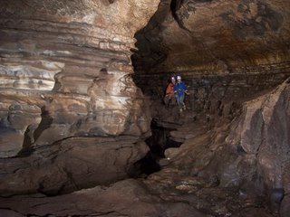
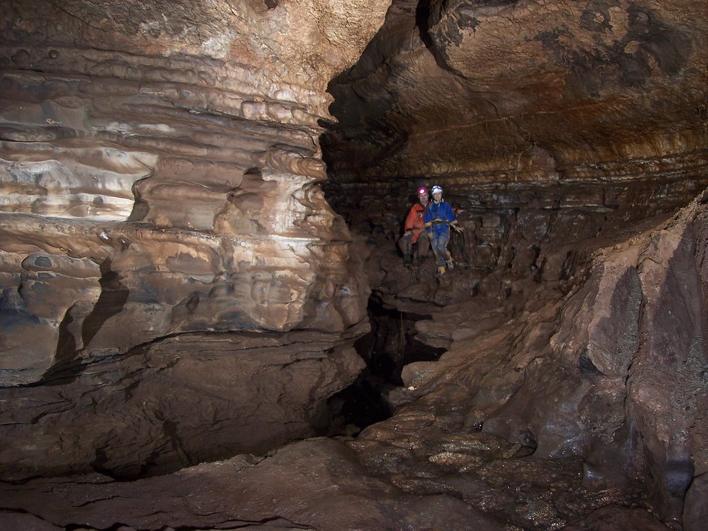
Bob and Mary in canyon

Bob and Mary in the big canyon passage. The cave stream is about 10' below them.

One-by-one we ascended up the first ledge. Progress was slow as several people were working out kinks in their frog systems. I was the last one up, pulled and stuffed the rope, then realized that my pack was sitting back down at the bottom. Damn. Rather than make everyone wait on me to rappel and ascend back up, I opted to try out the stream crawl instead. As I'd heard, it was definitely a wet crawl, with my chest in the water and butt against the ceiling. It's obvious by the size of the cobbles in this stream that it moves a good bit of water. We'll need to bring spare dry clothes if we take this route next time.

After derigging the rope, the climb back up and out all that breakdown began. This was pretty tiring work while wet, muddy, and carrying rope and vert gear. Brian took some good photos in one of the big rooms on the way out, then he sacrificed one of his flash units to the cave gods. We were back outside after about 6 hours, and the Cleveland Grotto had already left. We packed up and stopped for dinner on the way back to the campsite.
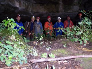
Group photo

Group at the historic entrance to Simmons-Mingo Cave. (L-R) Brian Masney, Dave Riggs, Judi Wasilewski, Bob Griffith, Mary Davis, Llew Williams, Garth Dixon

All photos by Brian Masney
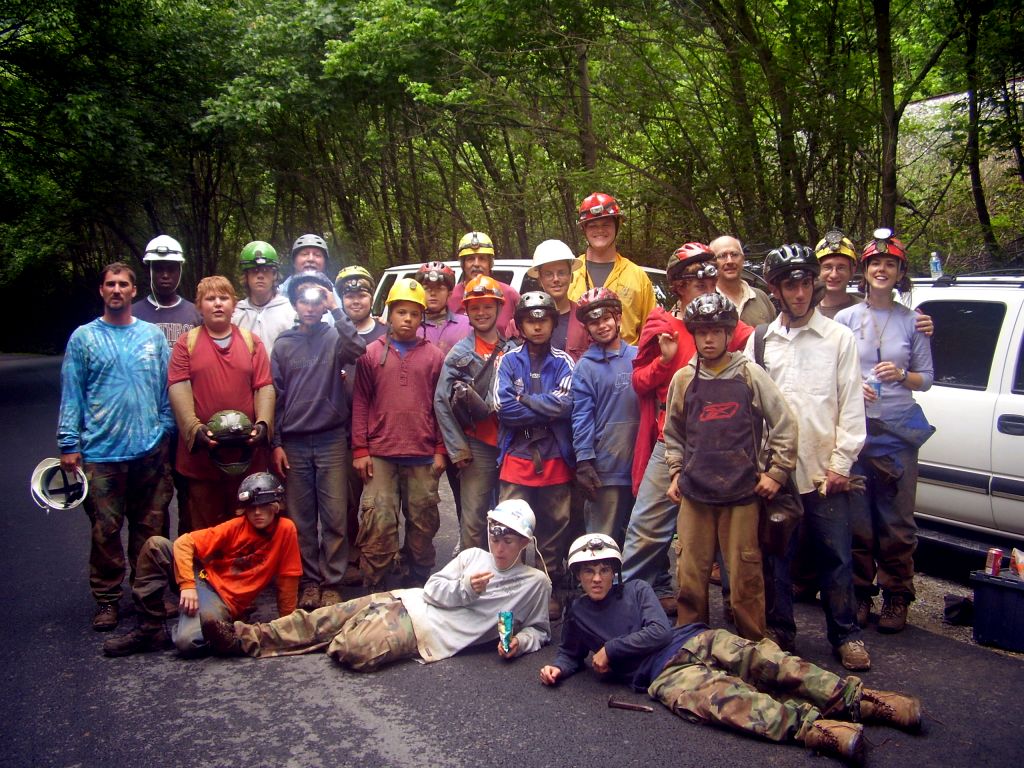
OTR 2006


The 2006 Old Timers Reunion has come and gone; the rain seemed to scare away some of the kooks making it pretty enjoyable. Unfortunately, the rain also made it cold, wet, and incredibly muddy... but you'll have that. Judi and I did some truck camping to avoid sleeping in a nasty tent, but we still wound up leaving at around midnight on Saturday to head back to warmer and dryer quarters.

Highlights:

- Instructions at the gate on the way in: "Do something weird."
- Caving trip into the historic entrance of Simmons-Mingo Cave
- Bill Biggers told me that I look just like Lew Bicking
- I picked up the Northern Pocahontas WVaSS Bulletin, the Karst Hydrology Atlas of WV, and the '89 SERA Guidebook
- Being videotaped for the blockbuster new film, How I Learned to Stop Worrying and Love Druid Cave
- Seeing lots of friends and meeting lots of new ones

Monday, August 14, 2006

[trip] New River Cave BSA Trip

Judi Wasilewski and Pete Sauvigne of the VPI Cave Club and myself, Dave Riggs, led Boy Scout troop 140 of South Carolina into New River Cave this weekend. Our group consisted of 18 scouts, four adults and the three guides.


Troop 140 along the road below New River Cave

New River Cave is the longest cave in Giles County, VA, at over 5 miles in length. Access to the cave is forbidden without written permission from the owner, Tim Kilby. Parking is along the New River, and the sole cave entrance is up an extremely steep hillside. We slowly climbed up to the entrance, did a final equipment check, and all met in the entrance room just inside the cave. The land-owner had prepared a nice written statement to introduce everyone to the cave and to caving.

We broke the large group up into three smaller groups of 6 scouts each. My group, age group 15 - 18, spent about 3 hours in the cave. We headed back in to the register room, through lots of decorated passage, and back to a big fault chamber with a steep dirt slide down the fissure. They had a great time, asked lots of questions, and did an excellent job of traversing the cave terrain. Upon exiting the cave and realizing that we were the first ones out, they were eager to head back in and explore the cave aimlessly (and to try their best at surprising the other groups)!

The last group made it out after about 4 hours in cave, and everyone headed back down the mountainside to eat sandwiches. The scouts and the trip leaders both had a good time on this trip, and I'd enjoy leading another BSA troop in-cave again.

Monday, August 07, 2006

[trip] GVKS Survey 2

Another survey trip for the GVKS again last week, this one 16 hours with zero feet surveyed!

Terry McClanathan and I ascended the Southwest Dome, currently the tallest known pit in WV, to get an accurate measurement of its height. There's a rebelay about 185' off the floor; it's at a small loft so you can get off rope onto your feet when you cross the rebelay. The loft is large enough for a couple people to stand and keep clear of rockfall from above. You pendulum about 10' to the left and continue upwards, the top of the dome slowly getting narrower and narrower to the point that there's a nice "helmet check" shelf to avoid near the top.

The very top of the dome is really just a mud-floored shelf; another pit is visible to the left, and there's no obvious passage from there, though I never unclipped from the safety line to check. There were several small solutional passages intersecting the pit on opposite wall on the way up, but no water was noted from below the rebelay to the top of the dome.

The rebelay pendulum was a bit tricky on the way down, but from there you've got a straight rappel down the rest of the pit - at least, you would if the rope weren't so muddy. I had to feed my microrack most of the way down because it was so gritty! The last 75' of rope seemed clean, presumably from the small amount of spray present (we did not get wet on rope). The pit measured 247' from bolt to floor, 240' from the upper ledge.

It was amazing to follow the bolt route up this huge dome, what an incredible effort it must have been!


Frogging up the tallest known dome in WV... 20' off the floor, only 220' left to go!

This cave is NOT open to the general caving public. It is only open for survey by the Germany Valley Karst Survey under contract to Greer Industries. OTHER CAVING IS STRICTLY FORBIDDEN.

Photos by Brian Masney
Wednesday, August 02, 2006

Misc.

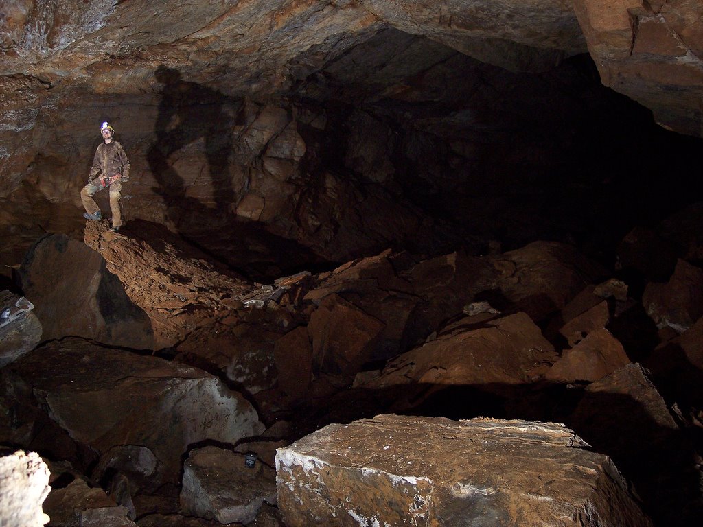
Judi and I drove down to Mingo Flats/Elk River Valley and met Llew Williams, Bob & Mary, and a few others for a trip into the historic entrance of Simmons-Mingo Cave. Llew had his camp set up in the mouth of the cave to keep cool. We climbed down and down a few breakdown hills, then descended a cable ladder to a nice pit and a wet crawl. Nobody had on vert gear, and the majority voted against getting wet, so we never made it to the Good Stuff.

One of my New Years Day Cave trip reports was published in this month's West Virginia Caver, does this make me a BNC?

Hellhole is now the 16th longest cave in the US at 23.90 miles. (Edit: 2006 season closed with 24.92 miles, passing Sloans Valley for 15th place!)

I got my TRA membership in the mail today... not bad considering I mailed it in the day before the deadline. See you at OTR!


Judi Wasilewski and Dave Riggs in Simmons-Mingo Cave. Photo by Llew Williams.

Thursday, July 13, 2006

[trip] Barton Cave Beginner Trip

Doug McCarty, Brian Masney, John Tudek, John ?, and myself met at the Exxon on route 857 at 6pm for a beginner's trip into Barton Cave. We waited for half an hour, but the beginners never showed. We drove to the cave, geared up, and headed in. The cave takes about 45 minutes to get to from Morgantown, and is a 10 minute hike from the parking area. It's a very easy cave, horizontal, not too crawly, and mostly dry. It's formed in very sandy limestone or limey sandstone. We were back in Morgantown in time to get Mexican for dinner.

Sunday, July 09, 2006

[trip] GVKS Survey

This weekend I managed to get on a GVKS survey team into a legendary closed cave. Brian Masney and I were on a survey team with Dwight Livingston; we were to find and survey a lead off a particular large room. We rigged and dropped the beautiful entrance drop around noon on Saturday and traveled about 4.5 hours into the cave, doing three more rappels on the way. Parts of the cave felt like going on a hike in the mountains, climbing steep hills or walking rocky trails in wide-open, massive passage. Of course, there were also plenty of squeezes and crawls, which were just as nasty as the borehole was spectacular. We spent a few hours investigating every lead we could find in the area, but couldn't find any that had not yet been surveyed. At least Brian got some awesome photos of the area. The trip out was exhausting but still enjoyable. We were above-ground at 1:30am.

entrance pit

Beautiful view of the entrance pit

brian in large passage

Brian Masney models his new boots in some big passage south of the large room

dave in large room

Dave Riggs and shadow in another large room south of the large room

Photos by Brian Masney.

Monday, June 12, 2006

[trip] Biology Study

Bob Griffith and I helped Dr. Daniel Fong and Dr. Horton Hobbs on a biology study this week, cataloguing invertebrate cave fauna. We took them to Beaverhole Upper, Maiden Run #2, and Maiden Run #1 on Monday, then to Beaverhole Lower on Tuesday. I'm now an honorary vertical biologist.


Horton Hobbs, Katie Schneider, Dan Fong, Dave Riggs

[trip] New Years Day Cave Survey

Aaron Bird, Brian Masney, Jason Thomas, and myself (Dave Riggs) made another trip back into New Years Day Cave this weekend (June 10). We first surveyed from the bedrock-on-bedrock crawl, through the Whack-A-Mole™ Way, to the last dig. We then broke up into two teams, and together surveyed through Jason's wormhole, past the dome, past the low/wide stuff, and into the crumbly canyon passage that we last turned around in.

We were in cave about 9 hours and surveyed about 1010', which brings New Years Day Cave to a whopping 2499' length - now the longest cave in Monongalia County (topping Maiden Run Cave #1 at 1800')!


Amazingly, we do this for fun.


The line plot shows NYDC heading directly for the end of Druid Cave, with about 400' straight-line distance between their surveys. We turned around in canyon passage that requires a hammer to continue forward, and the Druid wind is still very strong in this far end of the cave.

Photo by Brian Masney

Saturday, June 03, 2006

Hiking Maiden Run

I went for a nice hike along Maiden Run this afternoon. I took some photos of Maiden Run #2, Maiden Run #1, a FRO above Maiden Run #1, and a small opening that may be Maiden Run #3 (see better photo from last visit). I also tried to find a sinkhole that the Mon Grotto dug in 1975 (see email discussion), but didn't have any luck.


Entrance to Maiden Run #2 is a down-sloping crawl to stooping passage with a cave stream. This cave lightly blows cool air.